https://lshemans.carto.com/builder/0f7da142-14fc-4a44-9b08-9d79f7728ed5
Hanover Section of Nanticoke (PA), 1920-1940
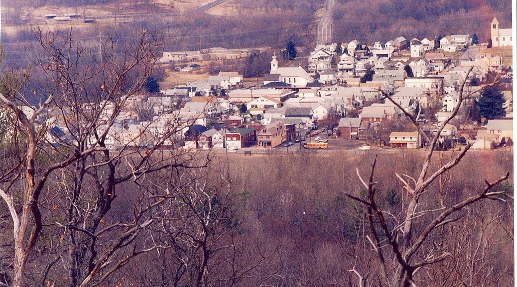
This neighborhood, at one time called Rhone, is a distinct enclave, consisting of only 11 streets and is set apart from the main town of Nanticoke. (Three streets were added in the 1950s, but these will not be included in the analysis, since census data would not be available, and also because they are not part of the historical neighborhood.) I chose this focus because I have family ties to the area and also because it is a small and distinct neighborhood that can be analyzed. It is often left out of the histories of Nanticoke proper.
I am using census data from 1920 and 1940. I chose this material because it contains a lot of information about the people who lived in this small section of town, such as ethnicity and occupation and can be compared over time. Also, the information is from the US government and not copyright protected. I had wanted to use the earliest census of the town, 1880 is the earliest that can be viewed via. Ancestry.com, however, the town did not use house numbers until after 1910, so I was not able to go back as far as I would have liked. I copied all of the information for all of the streets from the 1920 and 1940 census, but I have chosen to focus on two blocks of two cross streets, Front and Center, due to time constraints.
I was able to find a 1928 Sanborn map from the Penn State library that has the footprints for the buildings on these streets. I put this map into Mapwarper and I rectified it so that it was overlaid on a current map so that I could georeference the addresses so that I will be able to upload my spreadsheet into Carto.
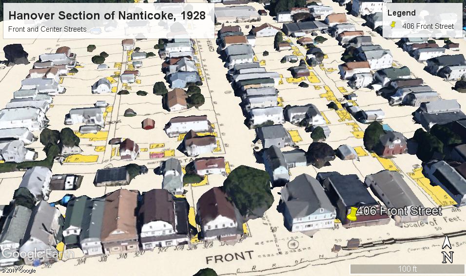
I had no idea how to do georeferencing, but I found some instructions to upload my rectified map into put into Google Earth. I put pins in all of the addresses and copied the given latitude and longitude (eg. 41°11’6.81″N, 75°59’2.61″W) into the spreadsheet. I tried to put this into Carto, but Carto seems to want only decimal numbers for latitude and longitude so I am not sure what to do. I have found some converters, but it seems very time-consuming to enter all of those values into boxes (there are usually separate boxes to each segment), so I suspect I have not done the georeferencing correctly.
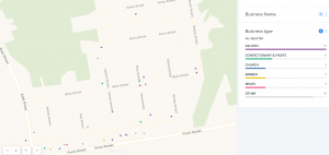
This neighborhood was quite self-sufficient with its own school, post office, shops etc. I wanted to bring this so and I was able to locate a business directory for the area from 1919 from the local historical society. I put the info into a spreadsheet and this time I googled how to find a program to geocode the addresses so that they would be in the decimal formal. I then put the info into Carto.
“https://lshemans.carto.com/builder/0f7da142-14fc-4a44-9b08-9d79f7728ed5/”
I am still working with formatting in Carto. I thought that if I hovered over a point I could bring up the info. And I was hoping to add some photos to the various locations as well that would show up when I hovered over a point.
Attempting to add Carto map for 1920:
https://lshemans.carto.com/builder/a762fa13-670f-4fd7-9eba-df1ab3658330/
and the business map: